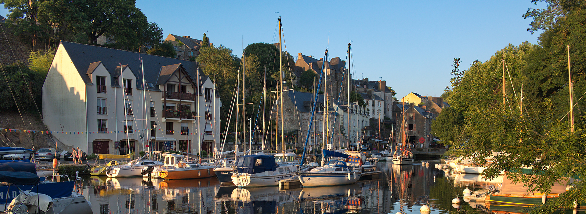
| C’est le tracé de cet agglomérat de maisons contiguës et parfois communicantes qui aurait donné son nom à cet îlot en forme de U tronqué, et reconstruit plusieurs fois avec des cours intérieures imbriquées débouchant sur la place du Marchix, toponyme récent comme la place qui résulte de démolitions et désigne, comme à Nantes ou Questembert, un ancien foirail ou marché. A cet endroit, la vue aérienne révèle l’isthme du promontoire rocheux avec la coulée des jardins de la Garenne au nord et l’étier du ruisseau du Rodoir au Le Docteur Cornudet qui fut 40 ans maire de La Roche-Bernard veillait sur ses rosiers dans le jardinet à la française au nord de la grande maison. |
The “RUE TOUR DE L’ISLE”
It is the traces of the collection of inter-connecting houses in the form of a “U” that have given the street its name, facing onto the Place du Marchix. An aerial photograph reveals the rocky promontory of La Roche-Bernard with the gardens of the Garenne to the north and the little river the Rodoir to the south, by which the medieval town developed. With the growth in car traffic in the 1950s, it was necessary to enlarge the Place which resulted in the demolition of the fish market |
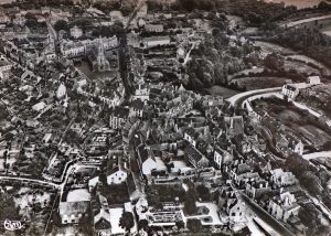
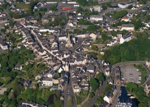
Carte postale aérienne semi-moderne grand format vers 1955 Vue prise en 2018